
-
 Real-time monitoring — provides prompt access to data on air pollution levels, water quality, and soil conditions.
-
Interactive data visualization — users can easily analyze information through maps, charts, and diagrams.
-
Decision-making support — a key data source for government authorities and environmental monitoring professionals.
-
Open and beneficial for the public — general users can track air quality and take personal precautionary measures.
-
Open and beneficial for the public — general users can track air quality and take personal precautionary measures.
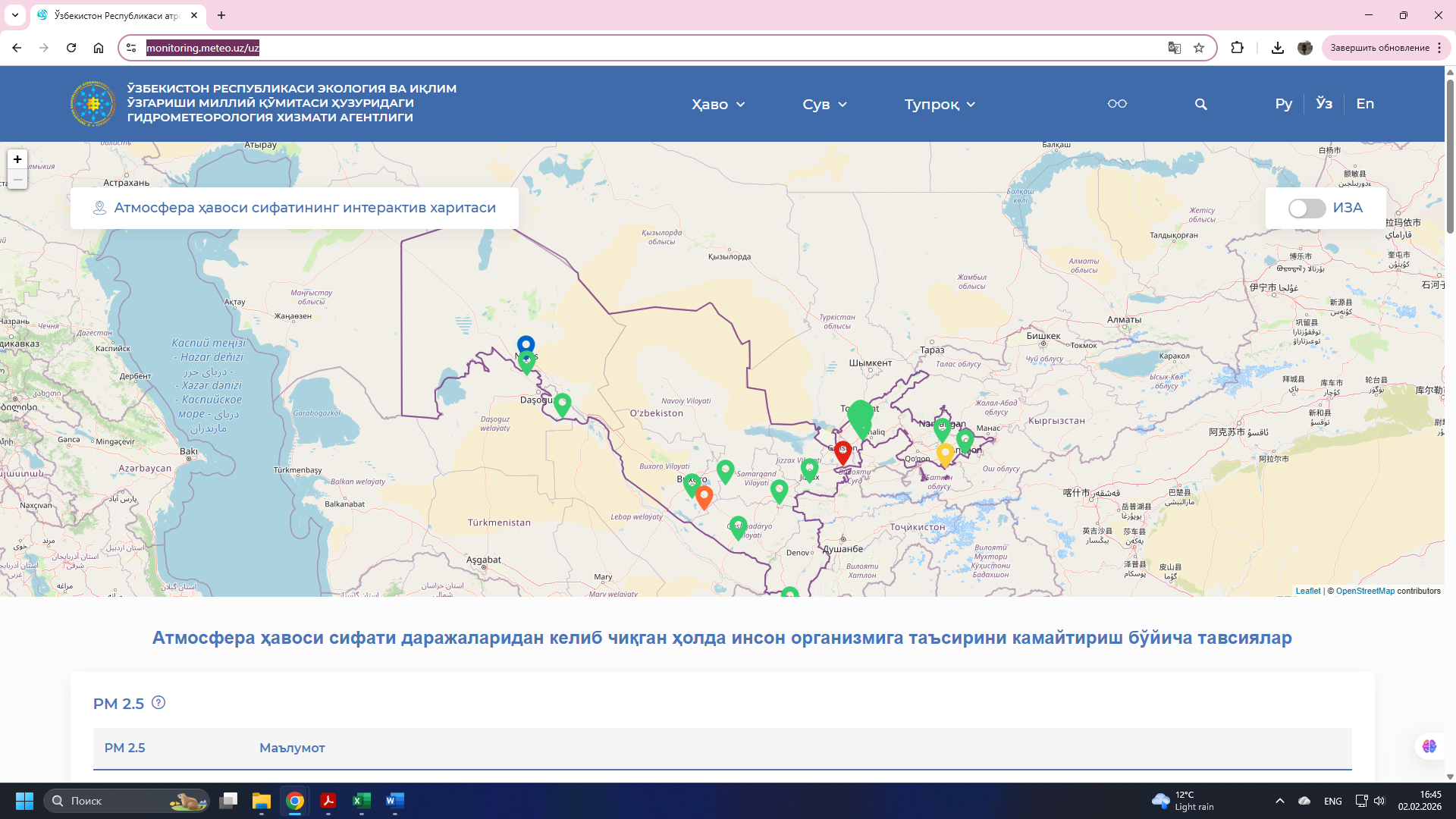
The national environmental pollution monitoring platform of the Republic of Uzbekistan provides real-time visualization of pollution levels of key natural components—atmospheric air, water, and soil—through interactive maps and statistical data. The system aggregates data on air quality indices (AQI/IZA), concentrations of major pollutants, water quality indicators, and soil monitoring, and evaluates them by comparing with established standards.
The platform was developed within the framework of the “Automation of Atmospheric Air Pollution Monitoring” project, in cooperation with Uzhydromet, the National Committee for Ecology and Climate Change, research institutes, and the Zamin International Public Foundation. The database receives data from automatic monitoring stations and numerous permanent observation sites.
The platform presents pollution index scales (IZA / AQI) for atmospheric air quality, based on which the population is provided with information on health risk levels and preventive recommendations.
In addition, each region includes dedicated sections with climate information, pollutant data, and environmental status statistics, helping to better understand the overall ecological situation.
Purpose and objectives of the system
The system warns the population of potential exposure to harmful substances by determining air quality in real time.
By aggregating water and soil pollution indicators, it helps provide a comprehensive assessment of environmental conditions.
It delivers prompt information on emergencies and ecological risks, serving as a basis for planning appropriate response measures.
Statistics
The system is integrated with more than 10 ministries and agencies through the Interagency Integration Platform of the digital government.
The system can be used simultaneously by approximately 10,000 users.
-
 Monitors pollution levels of air, water, and soil using automatic stations.
-
Compares collected data with standards to determine pollutant concentrations and air quality levels.
-
Presents information to users in a convenient format through maps, diagrams, charts, and indices.
-
Alerts the public and specialists when air pollution is high, providing health-related recommendations.
-
Creates a database for studying long-term trends, forecasting, and conducting scientific research.