

-
 The system integrates 14 regional laboratories for remote data collection and continuous environmental monitoring of industrial enterprises.
-
It maintains a registry of industrial facilities and analyzes emission levels across air, water, and soil.
-
A user-friendly interface enables remote data entry, facility passport management, data visualization (tables and charts), and report exporting.
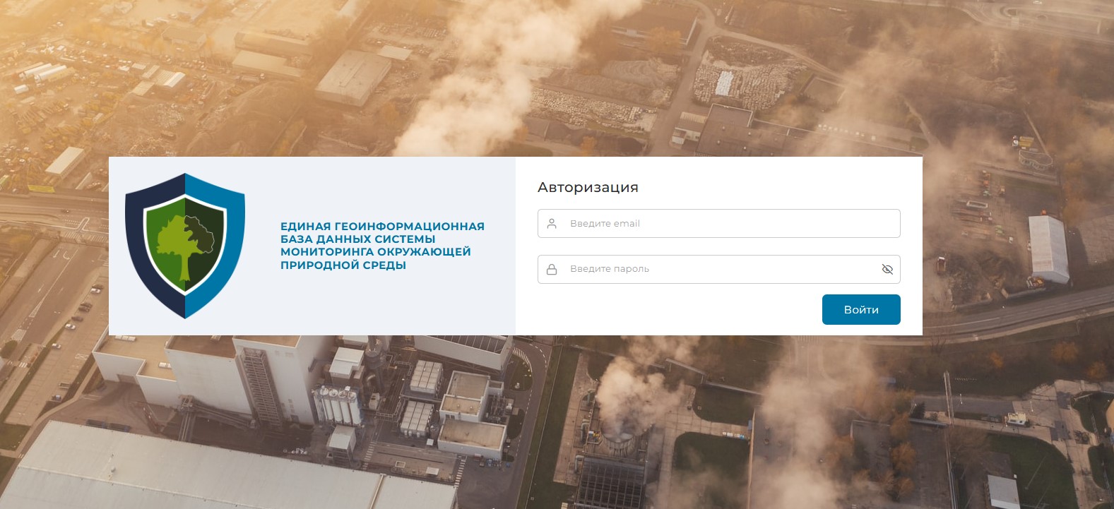
In accordance with Resolution No. PKM-737 of the Cabinet of Ministers of the Republic of Uzbekistan dated September 4, 2019, the "Unified Geoinformation Database of Environmental Monitoring" system was launched. It is designed to remotely collect pollutant emission data from industrial enterprises in the Republic into a single database and conduct continuous monitoring by regional environmental laboratories.
This system has been used to create a register and standards for industrial facilities in the Republic, and to analyze atmospheric emissions, water emissions, and soil pollution levels by conducting laboratory tests at industrial pollution sources and submitting the results.
System goals and tasks
System goals:
The Unified Geoinformation Database of Environmental Monitoring system will be used to generate monitoring results for enterprises belonging to categories 1-4 in the republic, as well as monitoring results for facilities specified in PKM-737 and PKM-343 (in the environmental monitoring programs in the Republic of Uzbekistan for 2021-2025).
System tasks:
Store all necessary information in the republic's environmental monitoring areas in one place in digital form and transfer the necessary information to other systems for the purpose of analysis and assessment, forecasting and modeling of the environmental situation based on data within the system's capabilities.
Statistics and data on projects
The Unified Geoinformation Database of Environmental Monitoring system includes over 500 airborne objects (over 1,700 sources), over 400 waterborne objects (over 1,000 sources), and over 300 soilborne objects (over 900 sources), for a total of over 1,300 objects and 3,700 sources.
The system summarizes the following monitoring results in three sections related to the above-mentioned objects: 22,104 airborne objects, 100,540 waterborne objects, and 21,783 soilborne objects.
-
 When entering the results of laboratory analyses of monitored objects into the system, the functions for comparing them with environmental standards and displaying deviations from the standards are au
-
In addition, the system provides the capability to integrate with external systems for data transmission and reception through a universal API.
-
The system also enables analysis of pollution level results based on atmospheric emission data using automatic sensors installed at industrial enterprise sources.